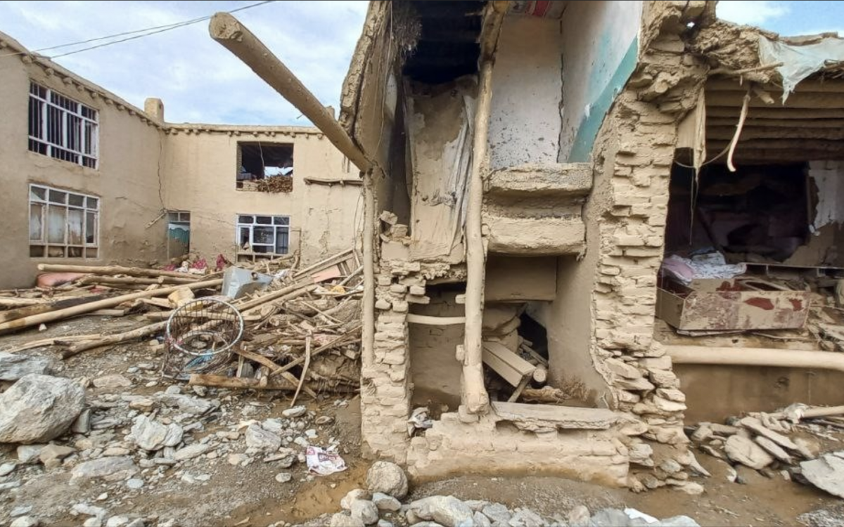
Rubbles in Gaza. ©Hosny Salah/Pexels. 2023.
Enhancing Humanitarian Access Security in the Occupied Palestinian Territory through GIS
In late October, Hugo Powell, Global Surge’s GIS specialist, was remotely deployed to the United Nations Department of Safety and Security (UNDSS) in Jerusalem to support security awareness efforts using Geographic Information Systems (GIS).
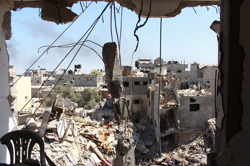
After the October 7, 2023, attack by Hamas and other Palestinian groups – that killed over 1,200 people in Israel and resulted in the abduction of 235 people – Israel declared a state of war and launched intense air strikes on the densely populated Gaza Strip, followed by a complete siege. The Israeli military began ground interventions on October 23. Almost two months into the conflict, the humanitarian situation is immensely dire, with swathes of the Strip totally destroyed and essential infrastructure in ruins.
69% of Gaza's hospitals are non-functional (as of November 16, Health Cluster). Over 14,800 people, including 6,000 children, have already lost their lives (as of November 23, according to Gaza’s Government Media Office). Children represent 40% of the casualties, which is unprecedented. Eighty percent of the population, 1.7 million people, are also internally displaced (as of November 20, UNWRA). In the West Bank, 231 Palestinians, including 59 children, have been killed according to OCHA, as of November 27.
Critical shortages of water, food, medicine, and electricity persist. Although a humanitarian pause began on November 24, allowing aid into Gaza, ongoing hostilities and access restrictions pose significant challenges for efficient support delivery, conducted under extremely volatile security conditions.
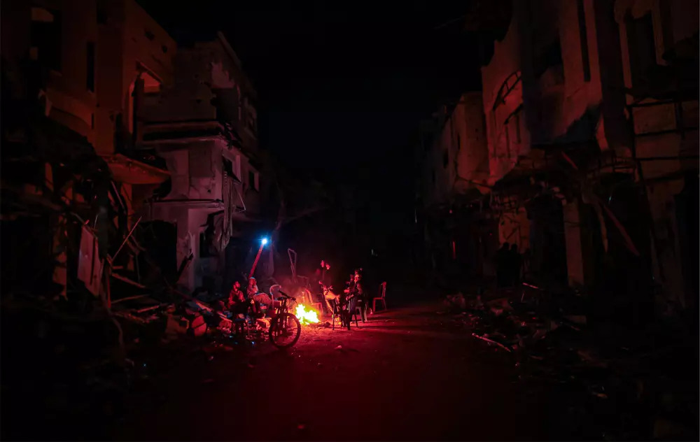
Palestinian family gathers around a fire near the ruins of their home in eastern Khan Younis. ©Mohammed Zaanoun/TNH. 2023.
At the end of October, Hugo Powell, Global Surge’s GIS Specialist, was deployed to UNDSS to contribute to the global effort of supporting humanitarian access and enhancing security awareness for UN personnel and partners. Working remotely with the UNDSS Emergency Response Team based in Jerusalem, Hugo focuses on improving GIS capacity to aid security information analysis.
A month into his deployment, we spoke with Hugo about his current assignment and the pivotal role GIS can play in conflicts like the one in Gaza.
What was your initial reaction, when you learned your deployment to UNDSS Jerusalem?
I jumped at the opportunity as it was a chance to have direct impact on field operations and potentially improve the overall response in the region.
How does GIS prove powerful in times of scarce humanitarian access, especially in conflict zones like the one unfolding in Gaza?
Access is challenging in all conflicts, but GIS tools can help navigate physical boundaries. The region is extensively observed, particularly by satellites, providing a wealth of satellite imagery online. This allows analysts to conduct remote assessments on damage, displacement, and changes in camp sizes.
What is your current role with UNDSS?
My role is to support UNDSS in Jerusalem by enhancing their GIS capacity. When I arrived, my first task was to understand how I could help UNDSS security analysts from a GIS point of view. My main goal is to improve their quality of life – to help them do their jobs more efficiently and more easily. The current security analyst in the field inherited an outdated data gathering and visualization that was not suited for the context in which they were working and costing them valuable time. So, we had to find a way to streamline their operations. In the meantime, I also did a lot of data sourcing such as GIS information in the region which proved to be difficult.
What were your recommendations?
After a thorough needs assessment and ideation, I coordinated the deployment of a GIS webdev to provide the specialized support I believed was required given the context. The goal was to create a tool to collect, process, visualize data, and auto create maps and charts with the purpose of communications and operational decision making.
What were the main challenges in implementing this tool?
Access to Geodata (information about geographic locations) and shapefiles (which is a data file delimiting geographical boundaries) was particularly complicated. Finding such boundaries for geographic locations in the region was therefore quite complex. So, I reached out to partners to find admin boundaries at a more accurate scale.
What outcomes do you envision for your assignment?
By enhancing UNDSS data collection system, we aim to better educate response focus. Identifying areas with increased security risks helps prevent unnecessary endangerment of UN staff. In summary, my deployment aims to contribute to a more efficient and secure humanitarian response in this challenging context.
*In addition to Hugo Powell’s deployment, iMMAP Inc.’s Global Surge also deployed Maxym Malynowsky as a GIS Application Developer to UNDSS Jerusalem.

