Detection and Profiling of New Settlements Through Satellite Imagery and Mobile Apps

iMMAP, through the use of innovation and new technologies in information management, has adopted an artificial intelligence model to detect and profile new settlements


According to official figures, around 1.8 million Venezuelan refugees and migrants have entered Colombia, many of them lacking sufficient economic resources and family support. They are later placed in zones that are generally not appropriate for urban development by state institutions or humanitarian response organizations. Thus, leading to the rise of settlements built by individuals outside the established mechanisms.

These precarious settlements are made up of inadequate shelter materials and utilities. Despite the clear lack of food as well as health, water, and sanitation services, they are not recognized by or incorporated into city plans. Therefore, state bodies often do not include these settlements into their support plans.


The majority of the migrant and refugee populations have settled in regions on the outskirts of urban areas,  while others have settled in rural areas making it almost impossible to know the exact details of the population characteristics and their basic needs. The spread of settlements throughout the country combined with access issues and the absence of migration control have exacerbated the problem.

Currently, humanitarian agencies providing assistance to these populations find the location of these settlements by coordinating with key informants and ground explorations covering large distances. This methodology does not provide the ability to find the sites in a quick, reliable, and accessible manner. Furthermore, it not only falls short due to the high costs, but it also does not provide up-to-date information that can be processed in a reasonable timeframe for effective and timely response interventions.

For this reason, iMMAP Colombia, through the use of innovation and new technologies in information management, has adopted an artificial intelligence model to detect and profile these settlements. The overall objective of this model is to make high-quality information available for humanitarian responders. Through which, humanitarian efforts can be channeled to respond to the Venezuelan migrant and refugee populations with the greatest needs.

Detection Process

The detection process begins with the generation of a model from machine learning, supplied by the company Thinking Machines, which uses Sentinel-2 low-resolution satellite imagery to generate a probability map of new settlement locations. With this map, a verification is carried out on Google Earth Pro to ascertain the emergence of settlements over the 2015-2020 time period, during which Colombia received the greatest number of people arriving from Venezuela.


To complement the remote verification, a ground-based validation is carried out to identify the presence of settlements and whether they are currently inhabited. This verification is conducted as the model may detect a settlement that no longer exists or pick up satellite images on Google Earth that are not up-to-date in some municipalities. The ground-based validations are used to provide confirmation of the existence of a settlement as well as profiling the current condition of these sites through the Premise application, a mobile crowdsourcing platform.

As of March 31, the document Radiography: Venezuelans in Colombia was taken as a reference to conduct a municipal prioritization due to the vastness of the geographical landmass in Colombia and the diverse physical characteristics of the settlements depending on the region (see image 1). This prioritization was conducted based on the number of Venezuelan migrants and refugee population estimated by departments and municipalities. To ensure a more robust and precise AI model, samples with specific physical characteristics of each region were generated.

This model has been implemented in 83 municipalities with remote verifications carried out in 53, where a total of 360 settlements have been detected.


From this amount, 87 were found to be located in the municipality of La Guajira, corresponding to 24% of the total settlements. This is followed by 43 (12%) settlements in Antioquia, 34 (9.4%) in Arauca, and 31 (8.6%) in Norte de Santander. At a municipal level, Maicao has the highest number of new settlements at 36, followed by Riohacha and Uribia with 19 and lastly Bogotá with 17.


Profiling of New Settlements

The second part of the exercise consists of profiling the settlements detected by the AI model. This is done through field data collection with validation surveys and monitoring which confirms the existence of settlements. These provide a physical description of the environment and give insights into the gaps in services provided.

This information is later shared with the organizations in charge of the humanitarian response, together with the profiling results and the needs of the population. This information is shared to ensure the response is carried out accurately while identifying the population with the greatest protection risks and assessing the changes over time in a flexible and dynamic way.

The survey is conducted by field agents living near or within the settlements using mobile phones, by applying a questionnaire consisting of short questions. The survey aims to gather the interviewee’s perception of the settlement and photographs taken of the site. This survey model has been designated Tier 3 and is carried out by the firm PREMISE, which has more than 20 thousand agents nationwide who are contacted through social networks and receive payment for each task carried out.

In summary, reliable information is generated in a shorter timeframe. Subsequently, humanitarian responders can direct resources to ensure targeted support to vulnerable communities while receiving accurate information regarding the settlements.


Key Findings

Among the findings from the 117 settlements which have been validated, one observation is that the majority of the settlements have a mixed population, meaning they are made up of Colombians and residents from other countries, as seen in the municipality of Norte de Santander. According to the findings, some settlements have a majority Colombian population, whereas, in others, more than 9% have more inhabitants from other countries (likely to be Venezuelan migrants and refugees). In the rest of the settlements, more than 81%, have a mixture of Colombians and foreigners. In addition, more than 62% of the settlements in Norte de Santander, have a formation time of between 3 and 5 years, which coincides with the length of the Venezuelan migration crisis. Lastly, the vast majority are situated in urban areas.


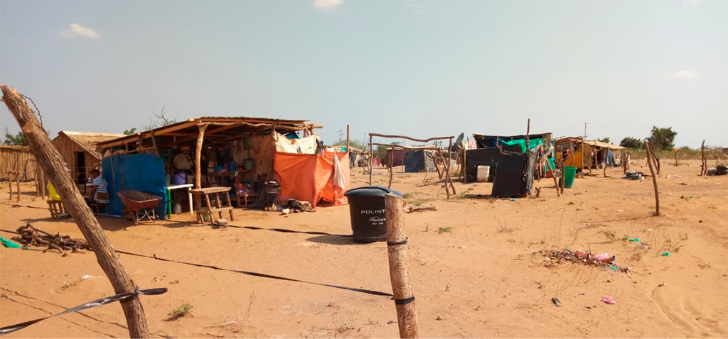
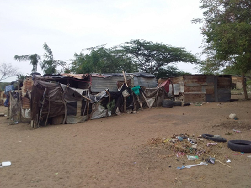
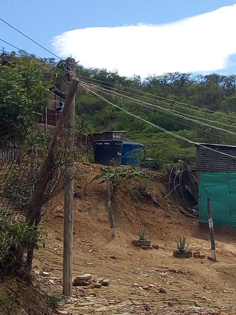
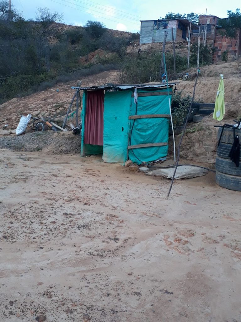
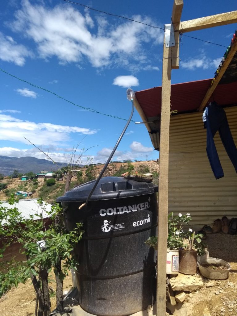
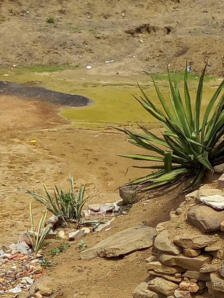
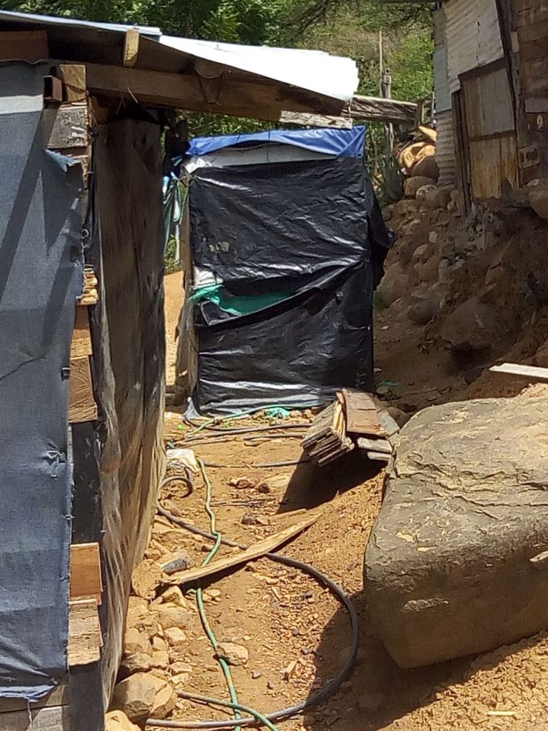
45.4% of the settlements do not have plumbing, meaning they do not have the means of receiving water to have a guaranteed supply for their inhabitants. Also, all settlements in Norte de Santander have reported lacking drainage and sewage systems.

With regard to the Health Sector findings, 63.7% of the settlements have reported being situated more than 30 minutes by car from the nearest health center. In the context of Food Security and Nutrition Sector findings, the number of supermarkets, shops, and places for provisions are scarce.


Open source:

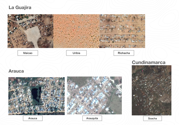
The coding scheme employed to detect settlements is from open sources, allowing it to be implemented every three to six months. For this reason, iMMAP will repeat this exercise in other zones of the country, wherein all likelihood new settlements will be found. iMMAP is currently planning to continue with the municipalities of Nariño, Cauca, Putumayo, and Caquetá while conducting a remote validation of the remaining 30 municipalities.

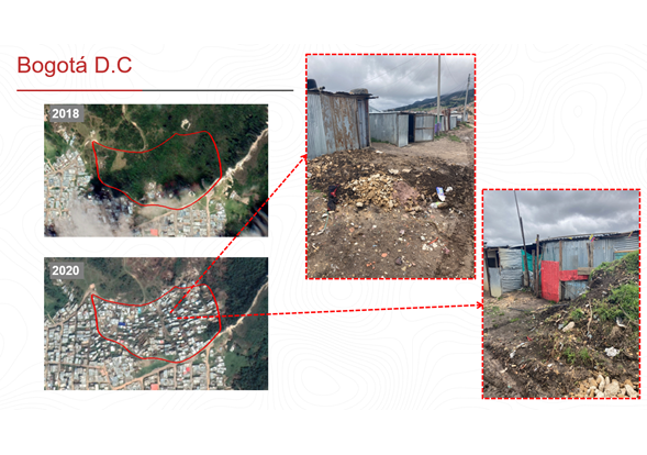
Furthermore, high-resolution images are being employed to ascertain an approximate number of dwellings per settlement, taken from a roof count. This will provide an indication of the various types of dwellings within the settlement and if they are being used. With this approximation of dwellings it is possible to estimate the population located within these areas, whilst factoring in other sources of information, such as the population of the GEIH (Great Integrated Household Poll in English) migration model, 2018 National Population and Household Census and data assessment of surveys carried out by different international organizations in the same municipalities.

To date, the results from this activity have been shared with local governments, agencies, and organizations such as IMO, UNHCR, Save the Children, the Colombian Red Cross, Mayor of Cúcuta, Action Against Hunger, ICRC, NRC, Mercy Corps, Doctors Without Borders. In the coming weeks both the detection and profile results will be shared with the wider humanitarian community and local government bodies to improve the coordination of response activities supporting the Venezuelan migrant and refugee population.

If you or your organization is interested in acquiring more information on the detection of new settlements please contact: contacto@immap.org